Total Pageviews

Saturday 9 April 2016

Ride to Leigh On Sea,Essex

I set off on Sunday the 3rd April 2016 for Leigh On Sea. I left Romford and cycled along through Hornchurch and up into Upminster. I pass the Upminster windmill where I stop for a picture.

Upminster Windmill is a Grade II* listed smock mill. It was formerly known as Abraham's Mill and was in Essex when built. It has been restored and is a museum open to the public at selected times.


 Then onwards along St Marys Lane through West Horndon along Dunnings Lane onto Fen lane and into Bulphan.I stop to take a photo of St Mary The Virgin Church in Bulphan.
Bulphan is a village in the borough of Thurrock and one of the traditional (Church of England) parishes in Thurrock. It is pronounced 'Bull-ven' though newcomers often mispronounce it as 'Bul-fan'.


 I follow round along Church Road right on the Bulphan Bypass and then back onto Church lane onto Brentwood Rd before turning onto Doesgate Lane.At the end I turn right and then left onto Old Church Hill. I remember this from a previous ride, I didn't make it up this long steep hill before.
Just over 3/4 of the way up I give up again and stop to take a photo of St Mary's and St John's, Langdon Hills. I pushed the bike the rest of the way up.


I stop to take a picture of the view of how far up this hill takes you!


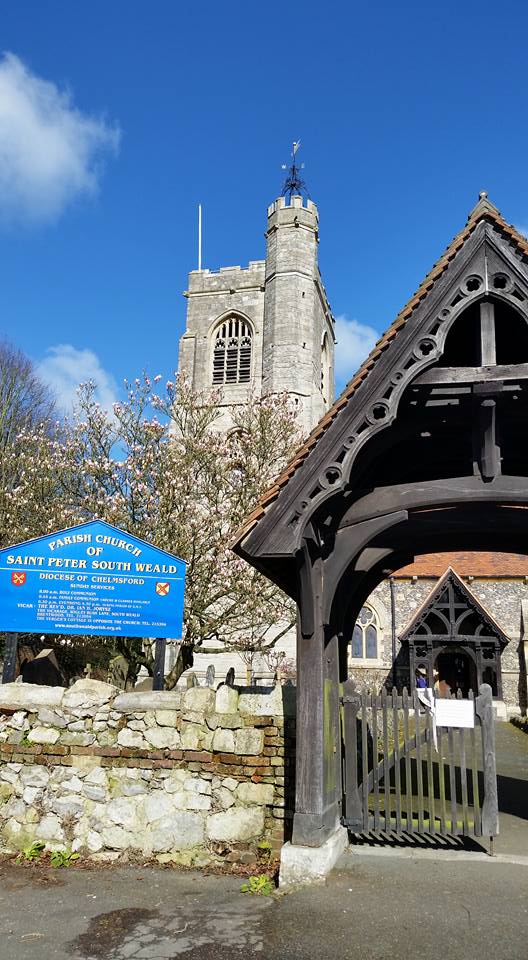
At the top I turn left onto High Road and pass St Mary and All Saints Church .
St Mary's Church was built in 1876 to replace the church in Old Church Hill, which was considered too small and too far from the migrating population. It was paid for by the rector of the day, Revd Digby Cleaver. The old church is now a dwelling place, but the churchyard remains under the control of the current church.
The church is built on a man-made mound at the highest point of Hall Wood. It is reputed to be the highest church above sea level in Essex. The ground falls away steeply behind the church, and the solid foundations have prevented significant movement in the building.

I turn right onto Dry Street and follow this to Nether Mayne in Basildon. Dry Street was a godsend with the fast downhill after that climb!
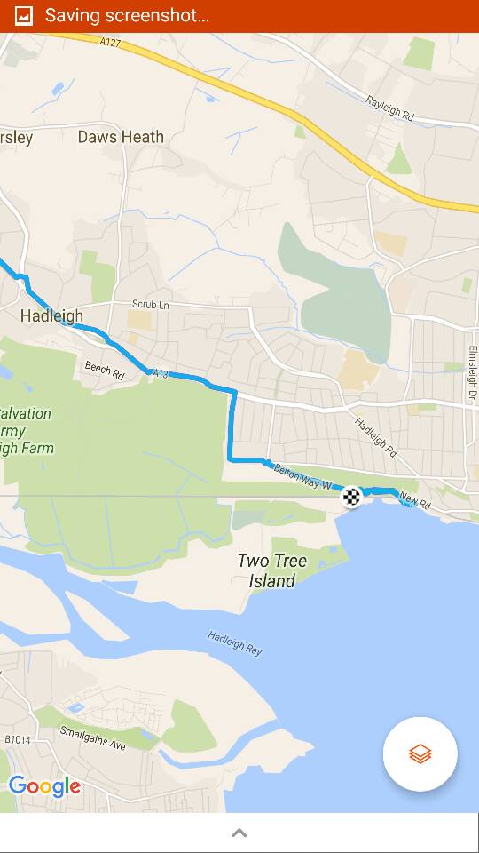
From Basildon I traveled into Vange, Pitsea, Bower Gifford and round Sandlers Farm roundabout and onto Benfleet up Bread and Cheese Hill.
I reach the roundabout near Benfleet, where there is a statue of a bicycle. To commemorate the cycle track nearby in Hadleigh used in the 2012 Olympics.


I follow the A13 and turn right into Tattersall Gardens and down to Leigh On Sea.


Old Leigh

"[Leigh:] a proper fine little towne and verie full of stout and adventurous sailers."
-William Camden, (Elizabethan historian, 1551-1623).
The riverside settlement of 'Old Leigh', (also regarded colloquially as 'the old town'), was historically significant, situated as it was along the primary shipping route to London. From the Middle Ages until the turn of the twentieth-century, Old Leigh provided a market square and also hosted the village's earlier high street. Leigh had grown to become a prosperous port by the 16th century, ships as large as 340 tons were built here for fishing and other purposes. By the late 19th century however, Leigh's deep water access had become silted up, and the village began to decline in importance as an anchorage and port of call.
The main seafood catch from Leigh fishing boats has always been shellfish and whitebait. Many of the local trawlers were at one time bawleys, and two of Old Leigh's pubs - the Peter Boat and Ye Olde Smack- owe their names to types of local fishing boat, (peter boat, smack). Local fish merchants land, process and trade a wide range of supplies daily, including shrimps, lobster, crab, seabass, haddock, cod and mackerel, cockles, whelks, mussels and oysters.
With the advent of the railway line from London to Southend during the mid-19th century, much of 'the old town' was demolished to accommodate its passage, and new housing and streets began to be built upon the ridge of hills above the settlement. (The current railway station is situated near the western end of Old Leigh's cockle sheds and boat marina, replacing in 1936 the original station, which was situated opposite Bell Wharf.).


I stopped at Osborne Brothers for half Pint of cockles.


I cycled to the station and caught the train back, passing Hadleigh Castle on the train.

I reached Upminster, where I was to catch my connecting train but a 24 minute wait saw me cycling back from here as it would be quicker. altogether  37 mile ride!


Monday 7 March 2016

South weald Circular 7th March 2016

We its been almost 3 years since Ive been on a bike ride, except for the commutes to work. So I set off and rode through Romford and had to stop for a while to fix a puncture on Victoria Road. Only a short way into the ride, but now will have to do the rest on under inflated tyres, as the handpump won't get the pressure up to 110psi.

I rode up Slewins Lane and onto Ardleigh Green Rd. I cross the A127 and up Squirrels Heath Road.

Here I hit the first hill, I really am out of shape, I stop by the Shepherd & Dog PH for a breather and to make a call.
I am now out of the towns and pass Pages Wood.
Pages Wood is an 74 hectare wood and public park in Harold Wood in the London Borough of Havering. It is the largest Forestry Commission site in the Thames Chase Community Forest, and 100,000 trees have been planted since it opened in 2002. It also has meadow areas, 6.5 kilometres of footpaths and 2.2 kilometres of bridlepaths.
Its north west boundary is separated from Harold Wood Park by the River Ingrebourne, and the river runs through the south west corner. The London Loop goes through the park. There is access from Hall Lane, where there is a car park, and by a bridge over the river from Harold Wood Park.

I turn left down Nags Head Lane and pass the Tylers Common Fishery, where I have fished before and Tylers Common on my right. I cross over the M25 and down to Brook Street. I cross Brook Street and onto Wigley Bush Lane. Here was a HUGE climb up. I stopped halfway after crossing the A12 for a breather and to check out French's farm shop that unfortunately  closed today.
 I continue up the hill and just before the top, I give in and walk the last bit!
I pass the Almshouses here in South Weald.


There are twelve Almshouses in South Weald, set in communal grounds with a central Chapel, in which the Vicar holds a communion service once a month).
Ten units were built in the 1850's by the Tower family (through a legacy from Sir Anthony Browne who was Lord of the Manor when he died in 1567).
In 1968 Sir Anthony Brownes Almshouse Charity was combined with the Charity of William Wingrave and two further units were added on land donated by the Tower family.

The properties are now cared for by a board of seven trustees.
South Weald is in the northern part of the Chafford Hundred, in Essex , and bordered to the north by Doddinghurst and Navestock. Population in 1841 was 1450.

The Tower Arms
The Tower Arms. a great place for a pint of Youngs was originally acroos the road next to the church and called the Spread Eagle. it was renamed in 1878 and moved across the road to a residence called 'Jewells'.

Across the road is Saint Peter South Weald.  


The church is large for such a small village and stands proudly on the top of the hill at South Weald, two miles from Brentwood in the English county of Essex. The Saxons settled here and the place is mentioned in the Domesday Book. St Peter’s is the mother church of the neighbourhood and until the middle of the 19th century, Brentwood, with its chapel, came under the jurisdiction of South Weald. The present church dates from about 1150, although the South Door with its chevron ornamentation is the sole remaining Norman feature. The present Memorial Chapel at the end of the south aisle was originally Weald Hall Chapel. Within it are commemorated former holders of the manor of South Weald. Sir Anthony Browne, the founder of Brentwood School, Erasmus Smith and the Tower family are all represented. The latter were the local squires from 1752 onward.


 I head off downhill along Weald Road and stop to have a look at South Weald Country Park. Been a long time since I've been here.


 I continue along Weald Road and through St Vincents Hamlet. I stop by Old McDonalds Farm, a childrens attraction for a quick breather and then press onwards homeward bound.

I turn left onto Chequers Road crossing over the M25 and up to Harold Hill on Noak Hill Road where I pass The Bear PH, where I remember as a kid my Mum n Dad taking me to see the bear in a cage.
This continues onto Lower Bedfords Road and I cycle up into Collier Row.
A total of 16.5 miles and just under a hour and a half moving time with 725ft climbed.